

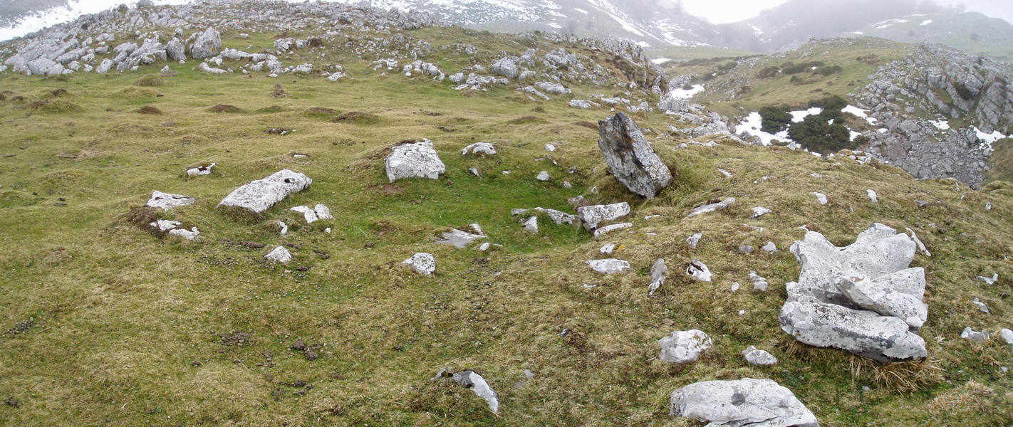
Megalito mota:Trikuharria
Megalito eremua:ARALAR
Aurkitzailea(k):L. Millán San Emeterio
Noiz aurkitua:
1981-04-05
Elementu kopurua:
1
Lurraldea:Nafarroa
Kokapen geografikoa (WGS84):42.983757, -1.990142
Garaiera:1165 m.
Kokapenaren zehaztasuna:
Kokapen zehatza (~25m)
Seinaleztatua:
Seinaleztatuta dago
Antzemangarria:
Ez da horren nabarmena
Iruzkinak
Komentarioak
Gertuko helburuak
ATAKAXAR tumulua (6 m.ra) · Alborta* harrespila (312 m.ra) · ARRATE ZAR tumulua (324 m.ra) · ARRATE ZAR etxola hondoa (409 m.ra) · Etzantza etxola hondoa (496 m.ra) · Beloki mendia (558 m.ra) · URDANETA tumulua (696 m.ra) · IRUZULO 1 hego etxola hondoa (765 m.ra) · ETZANTZA trikuharria (807 m.ra) · Algorta etxola hondoa (828 m.ra) · IRUZULO 2 ipar etxola hondoa (845 m.ra) · Subezelaigañe mendia (867 m.ra) · Ttutturre mendia (886 m.ra) · GAZTELUETA etxola hondoa (919 m.ra) · BALENKALEKU harrespila (943 m.ra) · MURKURUKO ARRIPILA etxola hondoa (948 m.ra) ·
Beste mapatan ikusi


Kokapena zuzendu dut
Kokapenak errore txiki bat zuen, eta tokian bertan hartutako koordenatuen arabera zuzendu dut.